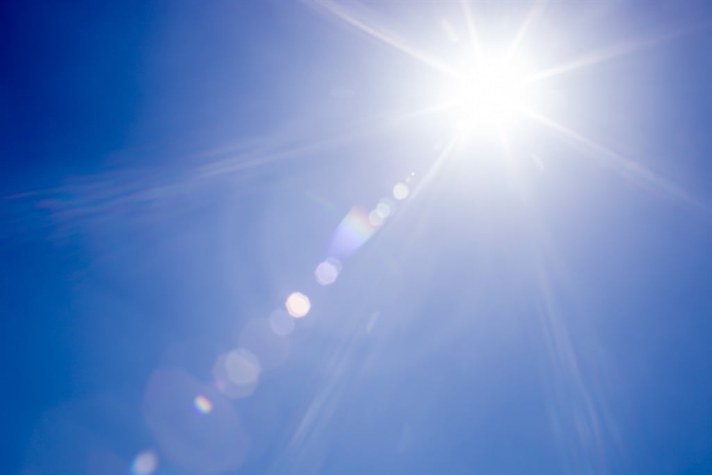
Extremely hot conditions are expected on Monday. (Sean Gladwell/Getty Images)
The South African Weather Service issued a warning for extremely high fire danger conditions expected in places in the Northern Cape, the West Coast district and Beaufort West local municipalities in the Western Cape, Walter Sisulu and Makana local municipalities in the Eastern Cape, the Mohokare, Mangaung, Masilonyane and Tokologo local municipalities in the Free State, as well as the Dr Ruth Segomotsi Mompati district municipality in the North West.
Advisories
Heatwave conditions, with persistently high temperatures, are expected over the eastern parts of the Northern Cape, North West, Free State, and the central and northern parts of the Eastern Cape until Tuesday.
Also, in places in Gauteng and the south-western Bushveld of Limpopo, where these conditions are likely to persist into Wednesday.
Extremely hot and uncomfortable conditions are expected in places over the Namakwa district of the Northern Cape, the West Coast district and the interior of the Western Cape. These conditions are likely to improve in the west, but persist until Tuesday over the eastern interior of the Western Cape.
The weather in your province
It will be fine and hot in Gauteng.
The expected UVB sunburn index is extreme.
Mpumalanga will experience cloudy conditions in the lowveld, with isolated showers and rain, otherwise partly cloudy and warm to hot, but fine in the extreme west.
Limpopo will be cloudy in the lowveld and escarpment, with isolated showers and rain from midday, otherwise partly cloudy and hot to very hot, but fine in the west.
It will be fine and hot to very hot in the North West, becoming partly cloudy in the west in the afternoon, with isolated showers and thundershowers.
Fine and hot to very hot conditions, becoming partly cloudy in the afternoon, are expected in the Free State.
The Northern Cape will experience cloudy and warm conditions, with morning fog in the north, otherwise fine and hot to very hot, becoming extremely hot in places over the northern interior.
It will become partly cloudy in the extreme north-east, with isolated afternoon thundershowers.
The wind along the coast will be fresh to strong south-easterly, becoming moderate southerly to south-easterly from the mid-morning.
In the Western Cape, it will be partly cloudy and warm along the south coast, where it will be cloudy at first, otherwise fine and hot to very hot, but extremely hot over the West Coast district as well as the interior.
The wind along the coast will be moderate to fresh easterly to south-easterly along the south coast, otherwise moderate to fresh southerly to south-easterly, but strong along the south-west coast at first.
The expected UVB sunburn index is extreme.
The western half of the Eastern Cape will be partly cloudy along the coast, where it will be cloudy in the east at first, with a chance of light rain in the morning, otherwise fine and warm to hot, but very hot to extremely hot in places over the northern interior.
The wind along the coast will be moderate south-easterly, but light easterly at first.
In the eastern half, it will be cloudy in places south of the escarpment at first, otherwise fine and warm to hot, becoming partly cloudy in the afternoon, but cloudy along the coast in the evening.
The wind along the coast will be light north-easterly, becoming moderate easterly in the afternoon.
Fine and warm to hot conditions are expected in KwaZulu-Natal.
The wind along the coast will be moderate easterly to north-easterly.
The expected UVB sunburn index is very high.

Monday’s temperatures.